Advanced flood resilience through AI forecasting
Summary
AI-powered global flood forecasting provides free riverine warnings up to 7 days in advance, including data-scarce regions, boosting climate resilience.
Context
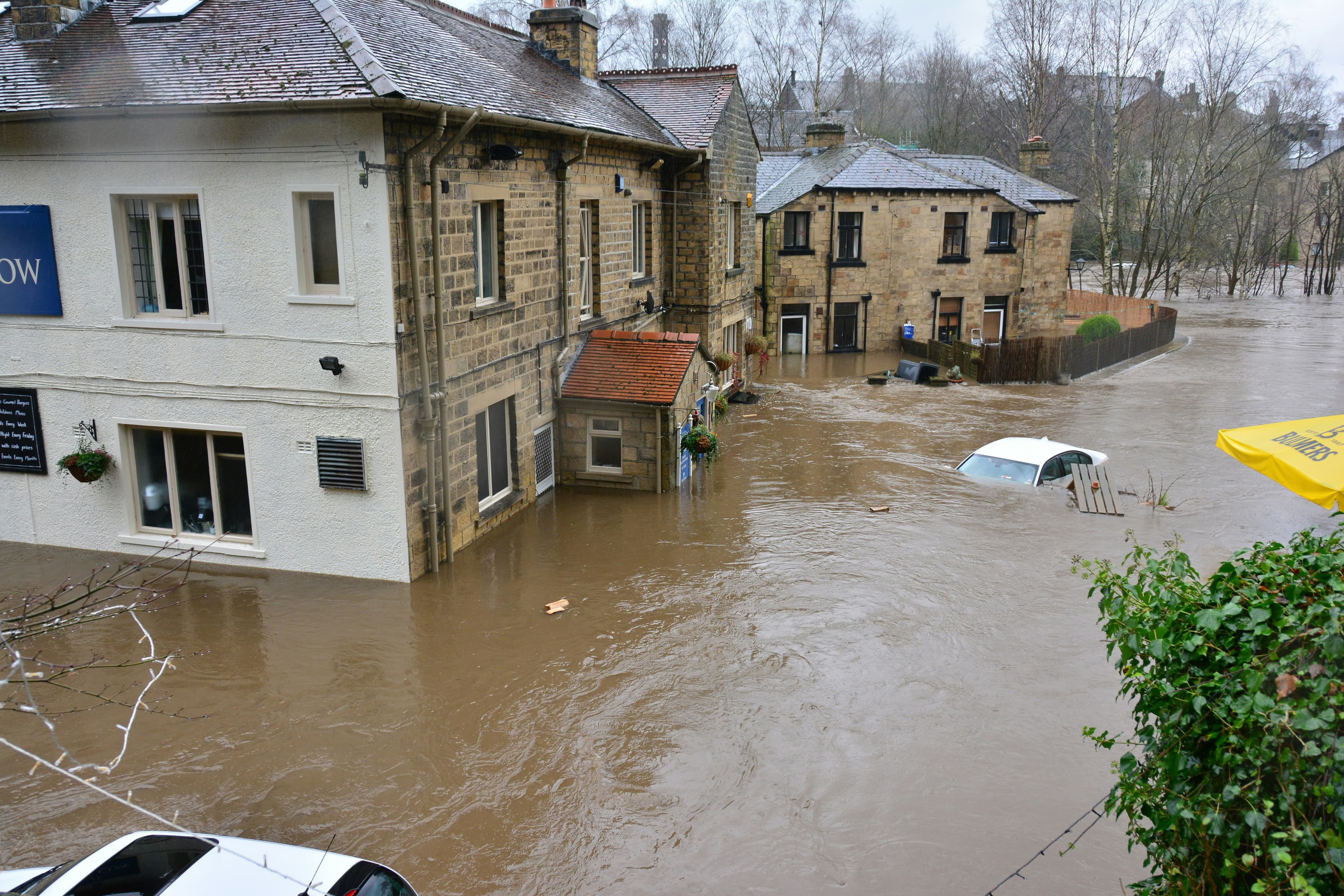
Floods are the most common natural disaster, causing thousands of fatalities and significant financial damages worldwide. The rate of flood-related disasters has more than doubled since 2000 due to anthropogenic climate change, exposing nearly 1.5 billion people to substantial risks.
This risk is particularly acute in low- and middle-income countries (LMIC) which often lack dense streamflow gauge networks, making accurate forecasting challenging. The system directly tackles this global vulnerability, reflecting Google's commitment to climate adaptation and resilience. Upgrading early warning systems is a highly cost-effective solution for mitigation, estimated to save thousands of lives per year.
Location: Global (Initiative impacting communities worldwide)
Solution
The initiative deploys AI-powered global flood forecasting designed to provide free, open-access riverine flood warnings up to 7 days in advance, including in data-scarce regions.
Key elements of the solution include:
A global hydrologic forecasting model based on Long Short-Term Memory (LSTM), trained on 15,980 publicly available streamflow gauges, including the Caravan dataset
Ability to solve the previously unsolved challenge of “prediction in ungauged basins”, allowing reliable forecasts in regions without dense monitoring networks
A dual-AI architecture:
Hydrologic Model – predicts streamflow
Inundation Model – maps flood extent and water height
Forecasting accuracy extended from the previous global standard of 0-day nowcasts to up to 7 days of lead time
Capability to predict extreme events (e.g., 5-year return period floods) with reliability similar to or better than older systems predicting common events
A supervised ML model identifies clusters of gauges likely to experience major flooding, enabling broader coverage
Forecasts are delivered via Flood Hub, Google Search, Maps, and Android alerts, in collaboration with governments and NGOs
Coverage includes over 2 billion people in the case of the most significant riverine floods, with long-term plans to reach all flood-prone areas globally
Impact
Sustainability impact
Climate
This initiative enables climate adaptation by providing early warnings that help reduce climate-related loss of life and economic damage from riverine floods.
The solution supports resilience in LMICs disproportionately impacted by climate-driven flooding and lacking reliable warning systems.
Nature
Early and accurate warnings help reduce damage to ecosystems and critical landscapes by enabling protective actions.
Social
Helps prevent loss of life and major disruptions to communities.
Contributes to the 'Early Warnings for All' initiative by delivering global forecasts, helping bridge information gaps for underserved populations in LMICs.
Supports nonprofits and governments preposition assets and/or anticipatory cash grants to support communities most impacted by riverine floods.
Business impact
Benefits
Supports climate adaptation by helping communities reduce flood-related economic costs, which early warning systems can lower by 35–50%
Enables preparedness for extreme events through extended lead times.
Strengthens global resilience and supports vulnerable communities without access barriers
Costs
The initiative is funded through internal research and development investments over many years.
Costs include development of the Hydrologic and Inundation AI models and associated machine learning research
Forecasts are provided free of charge, eliminating user costs
Implementation
Typical business profile
Most relevant for organizations operating in:
Disaster management or climate adaptation domains
Public-sector disaster-response agencies
National Meteorological and Hydrological Services
NGOs working in climate resilience and humanitarian response
Approach
Develop global hydrologic and inundation models using available streamflow datasets
Train the global AI system using LSTM networks and 15,980 streamflow gauges
Build supervised classification models to identify likely major flooding events
Integrate flood forecasts into public platforms (Flood Hub, Search, Maps, Android)
Collaborate with governments and NGOs to disseminate real-time alerts
Continuously refine models and expand coverage to additional flood types (flash, urban, coastal) and other disasters such as droughts
Stakeholders involved
Project Leads: Google Research
Company functions: Research and development; partnerships with product teams enabling Search, Maps, Android integration
Other partners: Governments, NGOs involved in distributing warnings and supporting local-level action
Key parameters to consider
Technical constraints: Requires global hydrological datasets and ML infrastructure
Geographical relevance: Built for global applicability, especially LMICs
Implementation and operations tips
Ensuring broad partnerships (governments, NGOs) is key to reaching communities
Expanding coverage and model accuracy requires continuous R&D investment
Addressing data-scarcity challenges is critical; using global models trained on diverse datasets helps overcome local data limitations